Showing posts with label Punchbowl Shelter. Show all posts

Punchbowl Shelter to Highway 60

 
Punchbowl Shelter to Highway 60
Day Two - Tuesday, March 31, 2015
12.2 miles

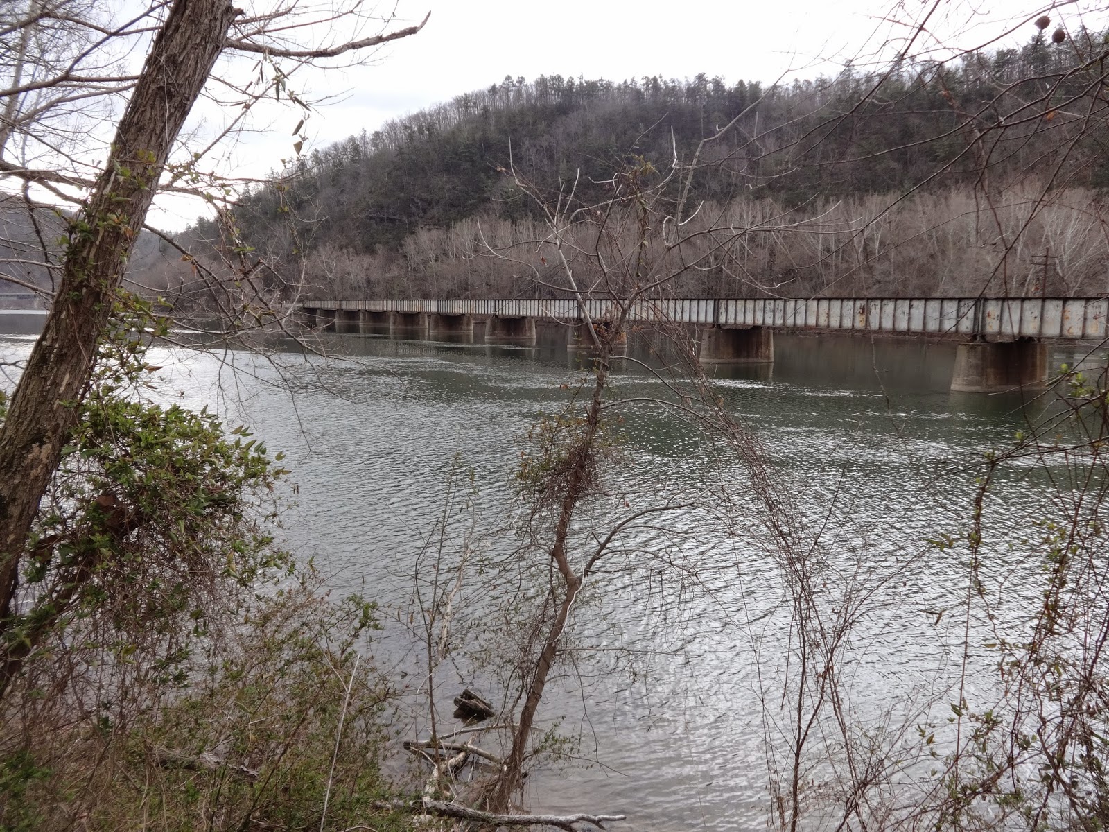
We left Punchbowl Shelter at 8:30.  It was steady down, down, down to US Forest Service Road 39 and Pedlar River Bridge.  Leaving the road it was one little steep up then rolling and low terrain for about 5 miles. 

Walking beside Brown Mountain Creek we saw a sign indicating that this was the home of a community of freed slaves who lived here after the Civil War until about 1918.  We saw rows of stacked rocks which they might have used as fences.  We reached Brown Mountain Creek Shelter at 2:45 and stopped for a rest and water refill from the stream in front of the shelter. 

When we reached Highway 60, we debated calling Oma from Three Springs Hostel to come pick us up because we were already tired and had quite a climb in front of us up to Bald Knob at the end of the day.  We decided to walk on and pitch our tent for stealth camping somewhere at the top before reaching the planned shelter. 

About a mile up the mountain, we crossed a forest service road and decided that was far enough.  However, when we started looking for a campsite, all the flat spots were under trees with dead limbs.  Considering that the wind was gusting up to 30 miles per hour, we decided that would not be a good idea.  We could not find a good place to tent, so we called Oma to meet us back down at Highway 60 and we hiked back down the steep mile. 

The good night's sleep inside the hostel, the shower and the wonderful fajita dinner made it worthwhile. 


Pedlar River

Pedlar River Bridge

Pedlar River Bridge


Brown Mountain Creek Shelter

Highway 60
 

James River Foot Bridge to Punchbowl Shelter

Monday, March 30, 2015
Day One - James River Foot Bridge to Punchbowl Shelter
10.5 Miles

Our 7:15 breakfast at Three Springs Hostel was very delicious and filling--scrambled eggs, bacon, toast, fruit and yogurt, and coffee. 

Me at James River Foot Bridge
At 8:00 we started our drive to the James River Foot Bridge and was hiking by 9:15.  We only planned to do 10.5 miles today because we knew we might get a late start and also because it would be our first day back on the trail.  The first day is always hard. 

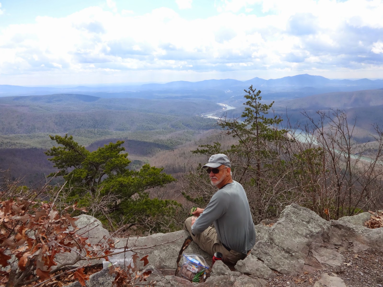
We had a long steep climb up to begin with to get to Big Rocky Row Trail.  We had lunch at the top, overlooking the James River below.  The high today will be 58 degrees, it is windy and cold on the west side of the mountain. The sun peeked out only occasionally and I so wished that it would stay. 

We had a magnificent view of the James River for most of the morning.  So peaceful. 

Another steep climb took us to the top of Bluff Mountain. At the top of the mountain we saw a monument to four-year-old Ottie Cline Powell.  In the fall of 1890, Ottie went into the woods to gather firewood for his schoolhouse and never returned.  His body was found five months later on top of Bluff mountain, seven miles from the schoolhouse.  Someone had left a little blue toy dinosaur on the monument.  Sad. 

 It was a slow go, but we finally got to the shelter around 4:45 p.m.  Surprisingly, there were two men already there.  They were out for a week and had zeroed the day at the shelter today.  We had our supper, pitched our tent, and went to bed by 7:00.  Low tonight 38 degrees and windy.
Starting north along the James River
 
  
James River


James River

High above the James River

Looking over the James River


Monument to lost boy


Punchbowl Shelter

Pond at Punchbowl Shelter