Day 9
Zero Day in Waynesboro
Join Wait-up and Catch-up as we hike the Appalachian Trail one section at a time. We summitted Katahdin on July 19, 2019 after 8 years of section hiking.
Pages
- Home
- Georgia Section
- North Carolina Section
- GSMNP Section
- NC/TN BORDER
- Damascus to Rural Retreat VA
- Groseclose, VA to James River Bridge
- James River to Harpers Ferry, West Virginia
- Maryland and Pennsylvania
- New Jersey and New York
- CT MA and VT
- New Hampshire and Maine
- Summit Day
- Short Trip to Georgia
Stealth Camp to VA 56 - Southbound
Stealth Camp to VA 56 - Southbound
Day 8 - Monday, April 6, 2015
12.5 miles
At 7:45 we started hiking. We went around the mountain and reached Three Ridges parking overlook on the Blue Ridge Parkway. Then a steep uphill to Maupin Field Shelter where we stopped at 10:00 for coffee and a Clif Bar. We refilled our empty water bottles from the spring there.
We enjoyed an awesome view from Hanging Rock.
We had heard bad rumors about Three Ridges and I guess they are true. However, we had a decided advantage by approaching them from the north. We rather enjoyed it. Going down was steep though, going from an elevation of 3870 to a mere 950 at Tye River.
Kathy was waiting for us at Tye River to take us back to Waynesboro.
 |
| Maupin Field Shelter |
 |
| Chimney Rocks |
 |
| Harper's Creek Shelter |
 |
| Tye River Bridge |
 |
| Tye River |
 |
| Tye River Bridge |
Paul C. Wolfe Shelter to Stealth Camp - Southbound
Paul C. Wolfe Shelter to Stealth Camp - Southbound
Day 7 - Sunday, April 5, 2015
12.3 miles
Easter Sunday! What an awesome privilege to be on the trail on this special day, giving glory to God.
We started on our way at 8:15, while Griffin headed back to Rockfish Gap. He decided he was ill-prepared to go on as cold as it is.
The morning was very easy, becoming a little steeper in the afternoon. We saw lots of day hikers – they all smelled so fresh, I was ashamed to walk past them!
We began to see some unusual artwork today – someone had painted white blazes with faces on them all along the trail. They provided a little entertainment for a couple of days.
We had a great view of snow-covered mountains south of us. It looked like a ski resort.
Cedar Cliffs was a beautiful spot – very similar to Tinker Cliffs in our previous section. It was a warm, sunny, beautiful day.
At one point, water was flowing out of the side of the mountain into a concrete slope to allow it to run off the side of the mountain. Wait-up stepped inside the concrete instead of stepping over it, and his foot slipped. He went down and bent his trekking pole, but thankfully did not get hurt. His water bottle fell out of the side of his pack and rolled down the mountain a ways. He had to slide down and get it.
By 5:00, we were ready to find a camping spot. Trouble is – it was all rocky and sloping terrain so it was hard to find a suitable spot to set up a tent. Finally, we found the only flat spot around at the base of a big boulder.
Jarman Gap to Paul C. Wolfe Shelter - Southbound
Jarman Gap to VA 56 - Southbound
Day 6 - Saturday, April 4, 2015
13.7 miles
After a zero day in
Waynesboro, we felt refreshed and ready to go again. We had arranged for a shuttle ride from a
local lady named Kathy. She was a little
late because she assumed we had stayed where all hikers supposedly stay in
Waynesboro – the Quality Inn. It is
located closer to the end of the trail and the downtown area, so I can see why. Kathy was a great ambassador for
Waynesboro. She told us about the
downtown area and encouraged us to spend some time there. The local folks are very proud to be a hiker
community and cater to the hikers. Many
of them offer shuttle service to and from the trail.
Kathy took us to Jarman
Gap, the Shenandoah National Park southern boundary, where we are going to hike
south for 3 days to the Tye River (VA 56).
We had a hard time finding the trailhead at Jarman Gap. Another couple there tried to help us, but
they didn’t know either, so we pulled out our phone and looked at a map. We finally found the little silver engraved trail
marker on a short post. Our first one
like that – but now we know what to look for.
We started our hike south at 8:30.
It was a short climb
up from Jarman Gap, but not too bad. We
crossed over Skyline Drive several times and met lots of day hikers on along
the way. After McCormick Gap we had a pretty steep climb.
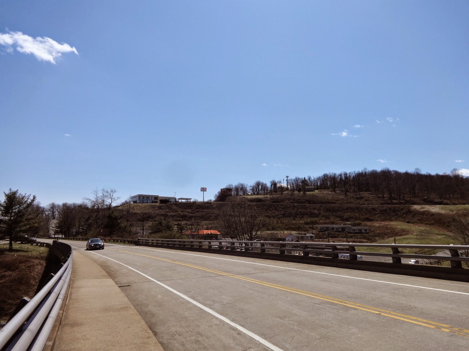
We reached the I-64
overpass where we could see down into Rockfish Gap. Seeing some cars and buildings there, we
decided to walk down to see what we could find – maybe a good snack. The
buildings were abandoned and the only thing open was a mobile King’s Gourmet
popcorn stand. The Inn At Afton has been closed down. The Visitor Information Center was located up
another little hill behind the popcorn stand.
We went back to the trail and kept on hiking.


 About thirty minutes
north of Paul C. Wolfe Shelter, there is a foundation of an old small cabin and
a chimney. A little further down the trail
is a cemetery with flat rocks sticking up for headstones. We were fortunate to be there at the time of
daffodils blooming. It was a beautiful
little spot.
We saw an unusual
looking young man along the trail in this area. He was beside the trail when we passed
by. The unusual thing was he was wearing
a long wool black coat.
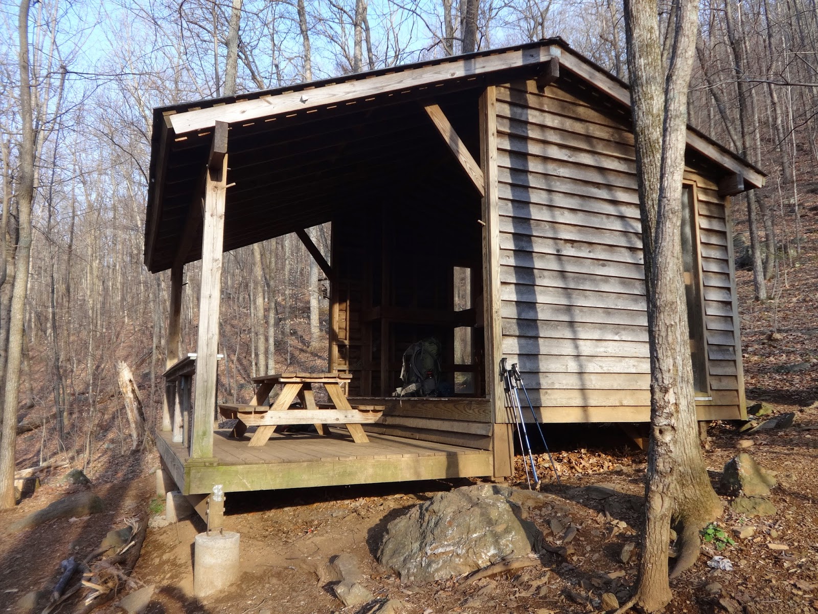
Paul C. Wolfe Shelter
has a loft and porch with a table on the porch.
It is three-sided with windows on the two ends. We heard loud rushing
water long before we reached the shelter and listened to it all night from the creek
in front of the shelter. The privy is
located uphill behind the shelter. When
I made my first visit to it, I found a dead mouse on a rock in the doorway of
the privy. A very nice marble memorial
bench sits in front of the shelter.
Not long after we
settle in at the shelter the young man came walking in. He introduced himself as
Griffin. He spent the night on the upper level while we pitched our tent on the
lower level. It was quite cold that
night and we heard him rustling around up there most of the night. He said the next morning that he was trying
to stay warm. I’m not sure he had a
sleeping pad or sleeping bag – he didn’t appear to have much in his
backpack.
 |
| I-64 |
 |
| I-64 |
 |
| Lookking down on Rockfish Gap |
 |
| Rockfish Gap |
 |
| Rockfish Gap |
 |
| Paul C. Wolfe Shelter |
 |
| Paul C. Wolfe Shelter |
 |
| Paul C. Wolfe Shelter |
 |
| Paul C. Wolfe Shelter |
 |
| Paul C. Wolfe Shelter |
 |
| Paul C. Wolfe Shelter |
 |
| Paul C. Wolfe Shelter |
Subscribe to:
Comments (Atom)


