Day One
Tuesday, March 29, 2016
Harpers Ferry to Rocky Run
Shelter
15.4 miles
Ah,
we are in Harper’s Ferry again! Ready to
head north across the Potomac River Bridge into Maryland and beyond. A year ago we hiked into Harper’s Ferry from
the south, completing a 239 mile hike from the James River Foot Bridge.
 |
| Harpers Ferry, West Virginia |
Last
night we stayed at the Comfort Inn in Hagerstown, Maryland and was pleasantly
surprised to find a LaHacienda Mexican Restaurant located beside the
hotel. We have several LaHacienda restaurants
in our home town area and they are some of our favorites. Of course, there turned out to be no
connection with this one, but the food was very good and the service was
excellent.
This
morning we left the Comfort Inn with the intentions of driving to PA 16 and
leaving our car there for three days. We
had been trying to check on the safety of the parking areas and had some
question about this one, so at the last minute we decided to change our plans
and drive to another parking area located within a park. The problem with this change escaped us at
the moment but gave us a little problem at the end of the three day hike,
making our last day about 5 miles longer than intended. More about that later.
Mark
Cusic, who shuttled us last year on our last little section up to Harpers Ferry,
picked us up. It was good to see him again.
He's a very nice, friendly guy and knowledgeable of the trail in this
area. We feel that he is reasonable in his rates,
charging us $45 to go from Old Forge Road Picnic Grounds to Harpers Ferry.
On
our drive down, Mark pointed out Washington Monument up on the mountaintop.
Mark
dropped us off at Harper’s Ferry near the Potomac River Bridge and we started
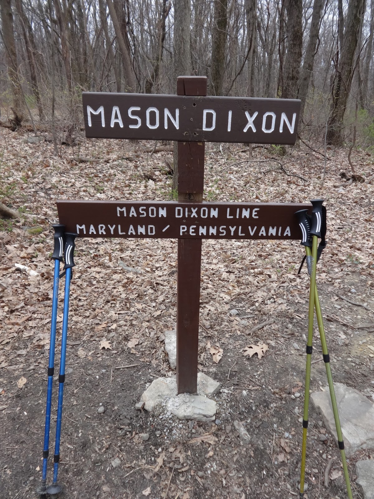
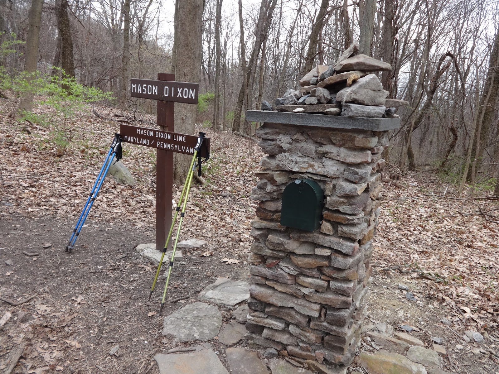
walking at 8:45. It was so exciting to
go across bridge and the West Virginia/Maryland state line once again, but this
time we kept hiking on the other side of the bridge along the old C & O
Canal towpath. The first 2.8 miles of
the AT in Maryland follows this path between what is left of the canal on one
side and the Potomac River on the other.
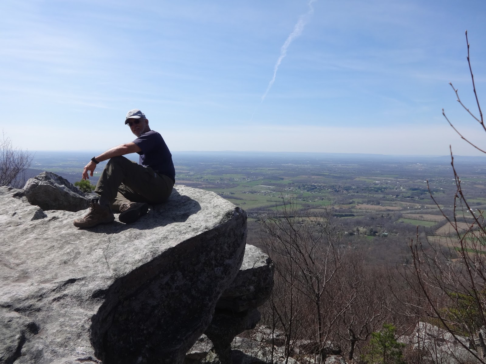
The
hiking was very pleasant with easy terrain along the canal waterbed just as was
promised in the AT guidebook. It was
uphill to Weaverton Cliffs and then to the ridgetop. At 12 o'clock noon we
had lunch at the Ed Garvey shelter. We
had done 6.3 miles in 3 hours. After the
shelter, the trail along the ridge top was wide and flat.
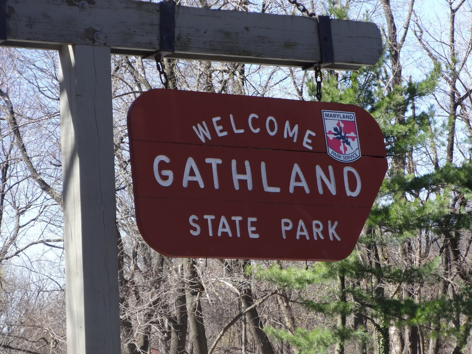
We
went through Gathland State Park where we had a humorous experience. There was a life-size cutout figure of a man
in front of a building and from a distance he looked like he was alive. Wait-up, as he was walking toward the man,
called out, “Hey, do you know if there is a water faucet close by?” He couldn’t get the man to answer him. I laughed so hard when I came up behind him
and realized he was talking to a cut-out figure of a man. The park and its two Civil War museums were not
open at this time of year, but we did get to see the War Correspondents
Monument, which was constructed in 1896 and stands 50 feet high and 40 feet
broad with plaques relating Battle of South Mountain history.
Some
parts of the path today were somewhat rocky, but there was plenty of foot space
between the rocks, so it was not torturous.
There were a few ups and downs from the gaps but they were not too long
and not too steep. Overall, it was a
very pleasant hike.
At 6
o'clock p.m. we reached Rocky Run Shelter. Philip, AKA Early Light, from Boston
had beat us to the shelter. He had his hammock hanging nicely between two
trees. He told us he was also hiking to Delaware Water Gap, but this is the
last time we would see him on the trail.
He left us behind the next day.
The
weather was cold and windy today and tonight when we stopped walking we got
pretty cold. In spite of the fairly easy
terrain today, by the end of the 15.4 miles my feet were hurting with the bottom
of the foot pain that I have experienced on our last couple of hikes that I was
hoping would not return.