Day 3
Thursday March 31
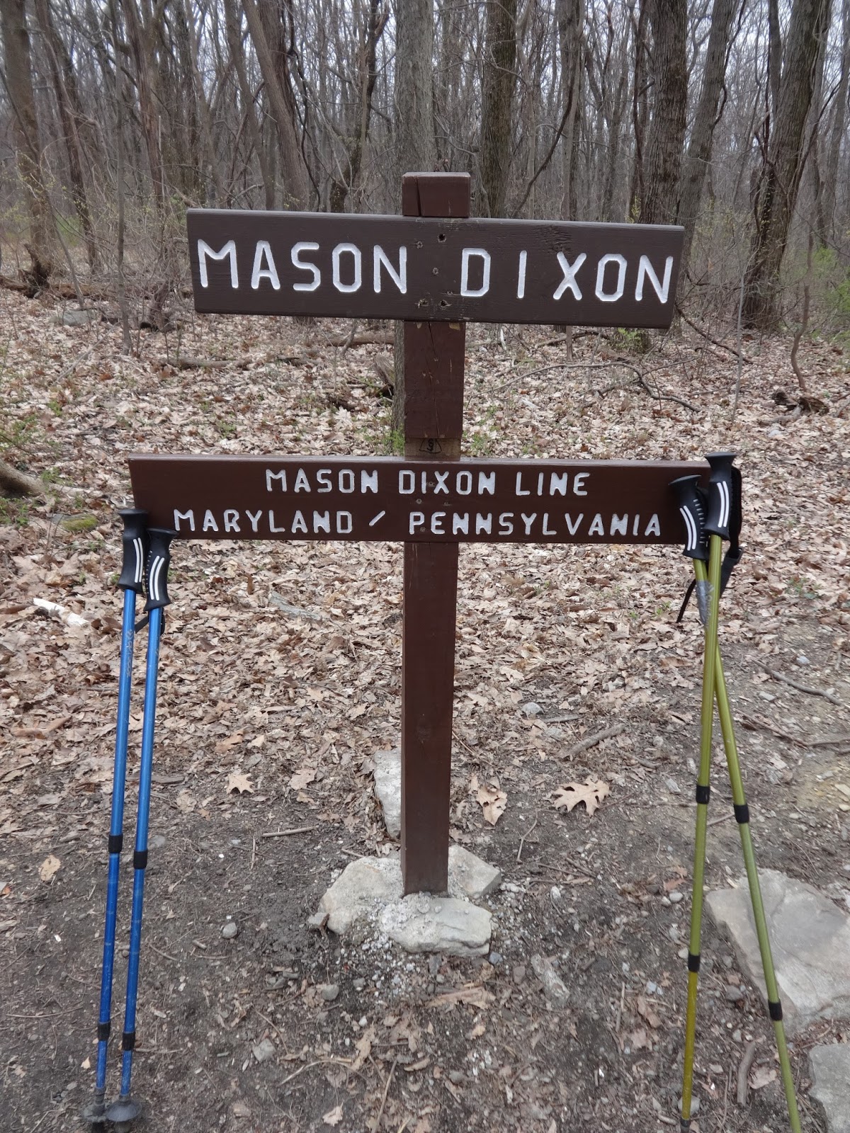
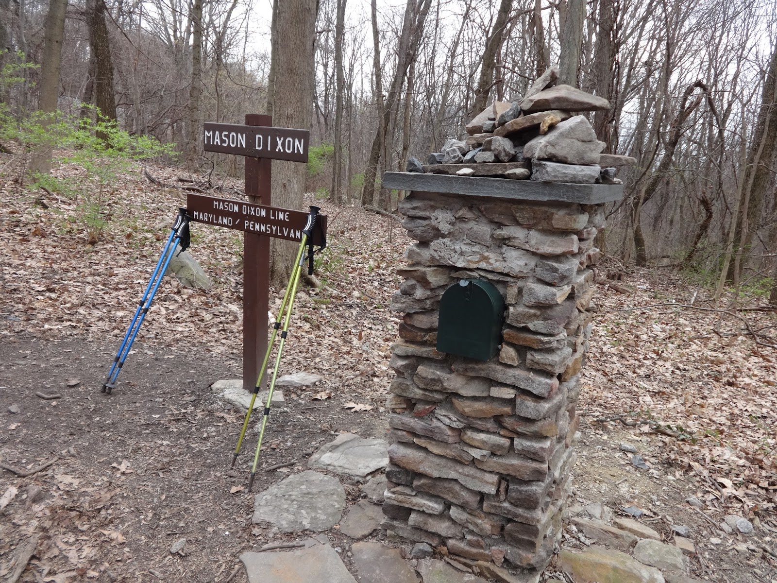
Ensign Cowell Shelter to
Highway 16 in Waynesboro
12.4 miles
We
were up at 6:15 and leaving the Shelter by 7:45. The path got somewhat more rocky after leaving
the shelter. We crossed a stream with a
2-board bridge then we rock-hopped
across another stream where Wait-up got his boots wet.
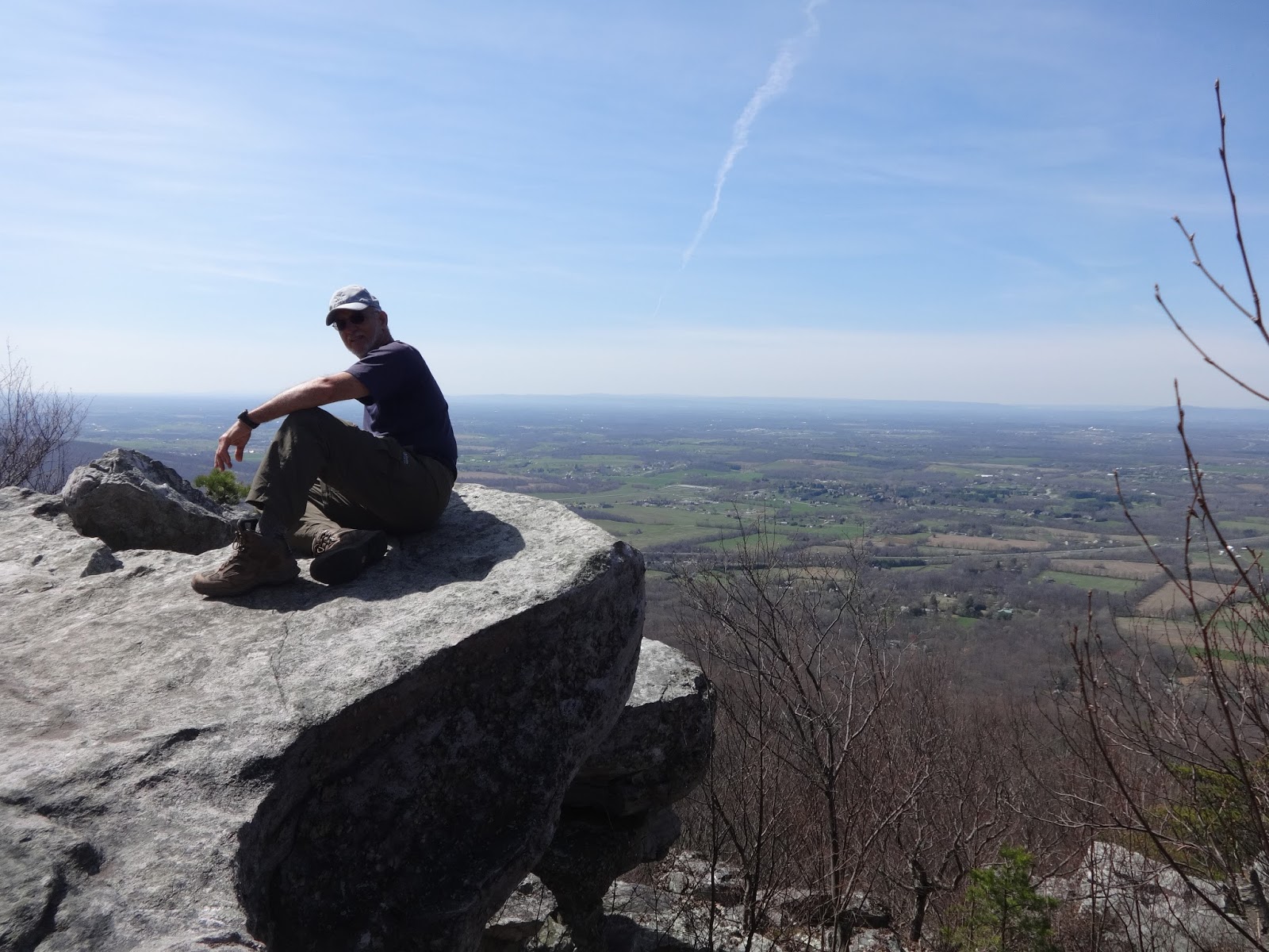
There
was about a mile of steep switch-back climb up to Raven Rock Shelter. Then it was a slow rocky descent from High
Rocks Trail down to Pen Mar Park. It was
about two miles of rocks with no ground to step on at all. Foot pain!
Somewhere
along here, it dawned on one of us that we had parked our car at a spot about 5
miles from where we had originally planned and that was going to add that
distance to our hike today. We had our
heart set on only 12.4, not 17 miles! The shuttle drivers we knew lived too far away
to have them come to us for only a 5-mile drive, so we did some
brainstorming. I am a member of a women’s
Facebook hiking group so I decided to put up a post asking if anyone lived in
the area who could give us a ride to our car from Highway 16. Luckily and surprisingly, someone does and
she agreed to meet us! At 4 o'clock we
made it to Highway 16 and had a short wait before Nancy and her husband
arrived. She was a trail angel.
 |
| Ensign Cowell Shelter |